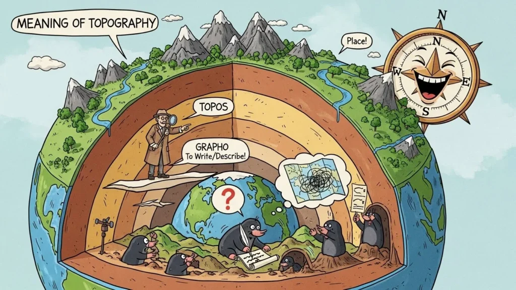
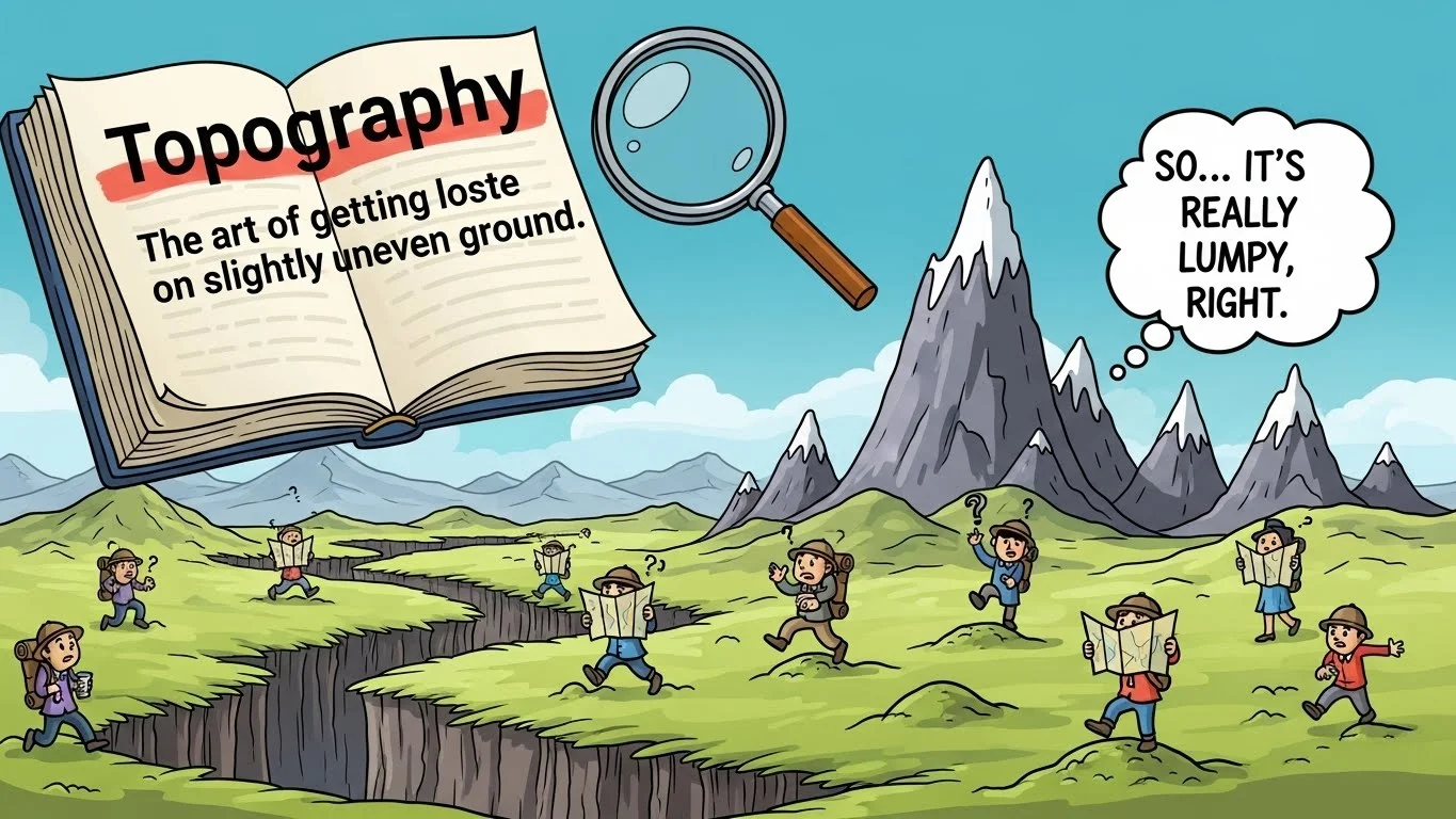
What is Topography?
Topography refers to the arrangement of natural and artificial features of an area. It includes hills, valleys, rivers, mountains, roads, and buildings that define the shape of the land.
Topography in Geography
In geography, topography is crucial for understanding landforms and the physical structure of the Earth. It helps map how terrain rises and falls.
The Importance of Topography
Topography is important for construction, agriculture, military planning, environmental studies, and urban development. It tells us what kind of land we are dealing with.
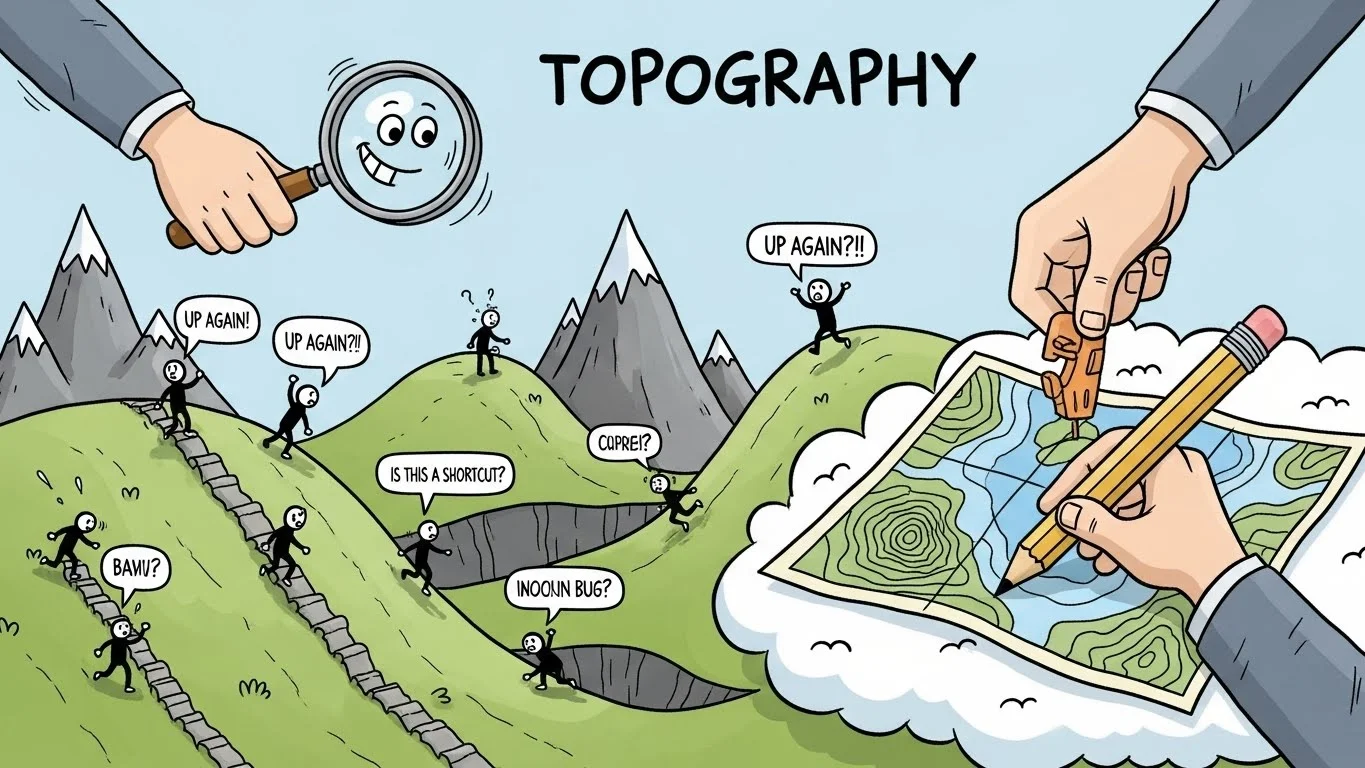
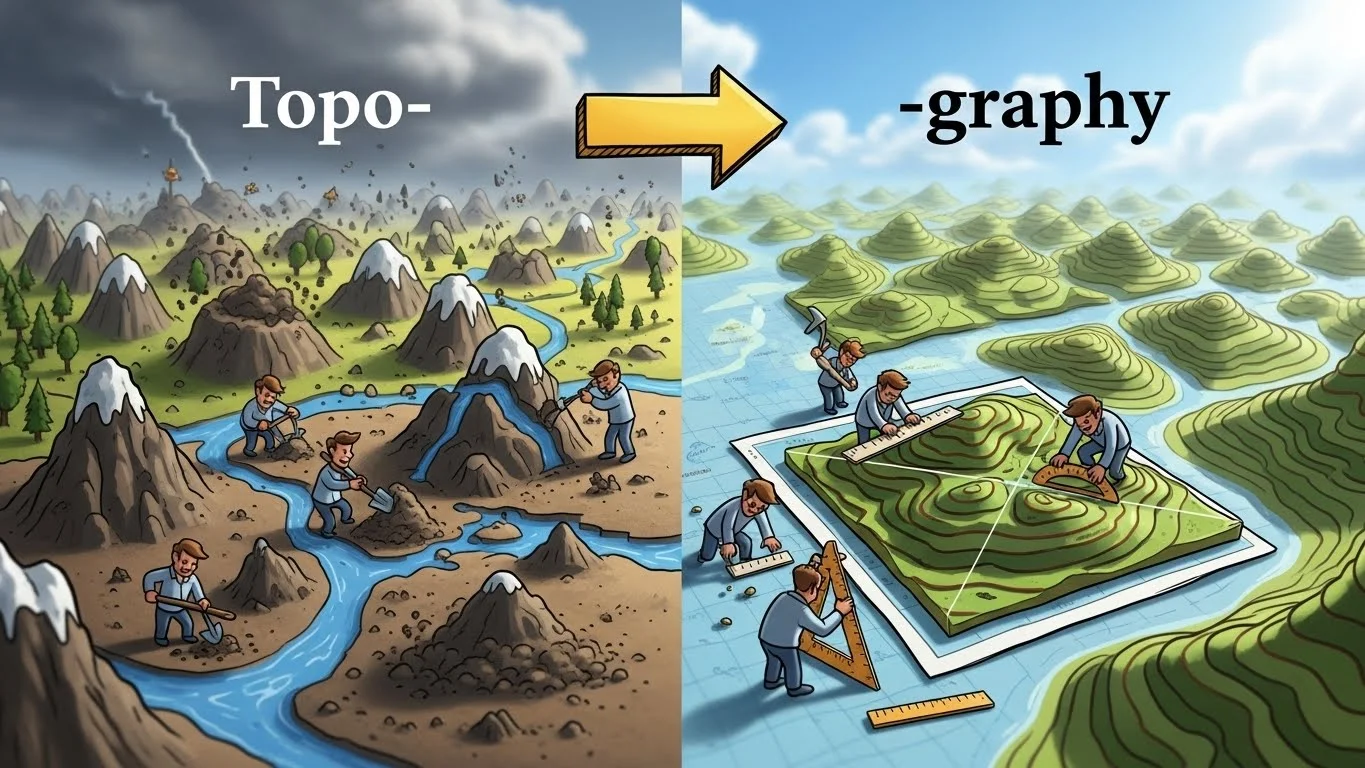
Topography in Maps
Maps often show topography using contour lines, colors, and symbols. These features indicate elevation and landscape forms.
Contour Lines Explained
Contour lines are lines on a map connecting points of equal elevation. They show the slope of the land—closely spaced lines indicate steep terrain, while wide spacing means flat land.
Topography in Daily Life
Even if you’re not a geographer, topography affects daily life. It determines where roads are built, where houses can be constructed, and how water flows in your neighborhood.
Modern Topography Uses
Modern technology like GPS, satellite imaging, and drones makes topography mapping faster and more accurate, helping industries like real estate, urban planning, and environmental management.
Types of Topography
Topography can be natural, such as mountains and rivers, or artificial, like roads and dams. Both types are important for understanding land use.
Topography vs. Terrain
Terrain is often used interchangeably with topography but focuses more on the physical characteristics of the land, while topography includes all surface features.
Topography in Architecture
Architects use topography to plan buildings, drainage systems, and outdoor spaces, ensuring that structures fit the natural shape of the land.
Topography in Hiking and Adventure
For hikers and outdoor enthusiasts, topography maps help navigate trails, avoid steep climbs, and plan safe routes.
Topography in Agriculture
Farmers use topography to determine water flow, soil erosion risks, and the best areas for planting crops.
Topography in Military Planning
Topography has always been critical in military strategy, helping armies understand obstacles, advantages, and natural defense points.
Topography and Flood Management
Understanding topography helps predict water flow and flooding areas, enabling better urban and disaster planning.
Topography in Civil Engineering
Civil engineers study topography to design roads, bridges, and tunnels, considering slopes, elevation changes, and drainage patterns.
Common Misunderstandings About Topography
Some people think topography only refers to mountains or hills, but it actually includes all land features, even small depressions, rivers, and urban structures.
Topography in Everyday Language
People sometimes use “topography” metaphorically to describe complexity, such as “the topography of the human mind,” meaning its structure or layout.
How Topography Affects Climate
Topography can influence weather and climate. Mountains can block rain, valleys can trap cold air, and elevation affects temperature.
Topography in Technology
GIS (Geographic Information Systems) and digital mapping use topography data for navigation apps, virtual simulations, and city planning.
Tips to Understand Topography Better
Study maps with contour lines, visit different landscapes, and observe how elevation and features affect water flow, vegetation, and settlement patterns.